“Where in the World Is “Warbird”

At 12:00 midnight of day 4
of our trip, after 84 hours since our departure, we are out of the Bahamas, through the Windward Passage and have safely skirted around the Island of Navassa. This Island is 40 nautical miles West of Haiti and rises to approximately 50 feet above sea level. It is a US territorial Island that was heavily mined for guano in the late 1850’s
and is now a National Wildlife Refuge. Though not too impressive on land, Navassa Island’s coral diversity and good state of health gives scientists hope for recovery of coral populations throughout this portion of the Caribbean.
It is but a spec on navigational charts that needs to be carefully avoided when traversing the Windward Passage.
The tide prediction charts
are not all in agreement for this area, however our instruments have shown our speed over ground to be about half a knot less than our speed through the water on our Southern leg toward Panama.
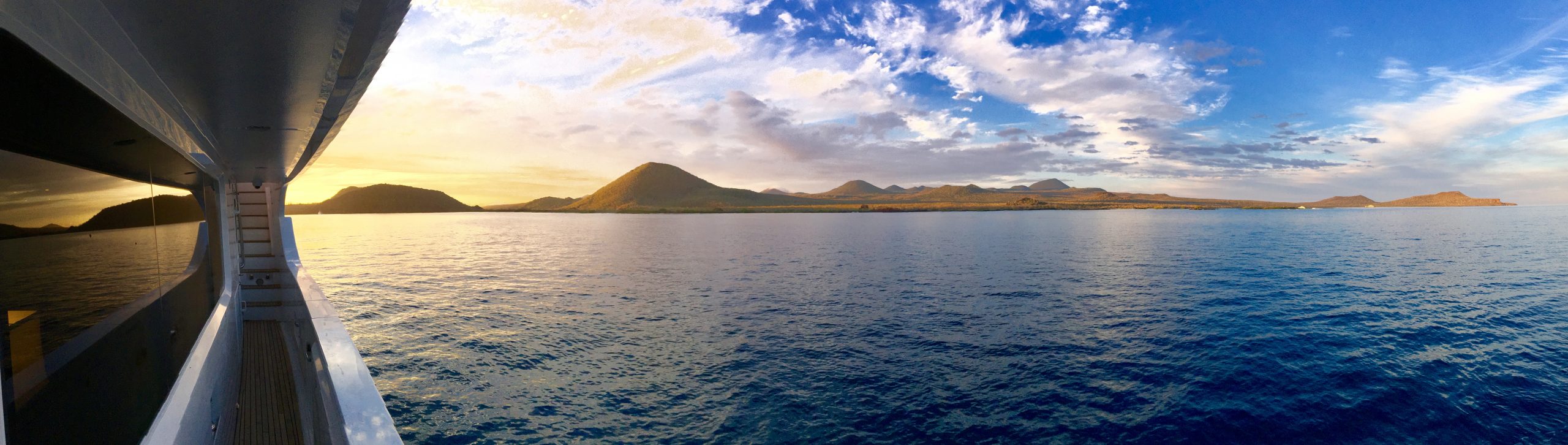
The weather so far has been incredibly good through the Windward Passage and “Warbird” handles the 5 foot following seas with admirable stability.
The Caribbean Sea can be a treacherous Lady, but so far she has shown us good favor.
As I finish this short report,
“Warbird” is now at:
18*01.821’N
75*19.942’W
A star filled night, a good ship underneath you and exotic destinations ahead,
Who could ask for more!


Dear Warbird – thanks for the blog posts! Amazing! Love to see more of that ER and PH!! Keep it coming!
Charlie
N5025 Ophelia
Winter Storage Baltimore
Captain Bob, I’m envious of your trip and new adventures. I’ll be following your progress. Safe travels. Jim and Cynthia